Presentation of the preliminary planning: On April 11, employees of the city administration and the planning office presented the project:
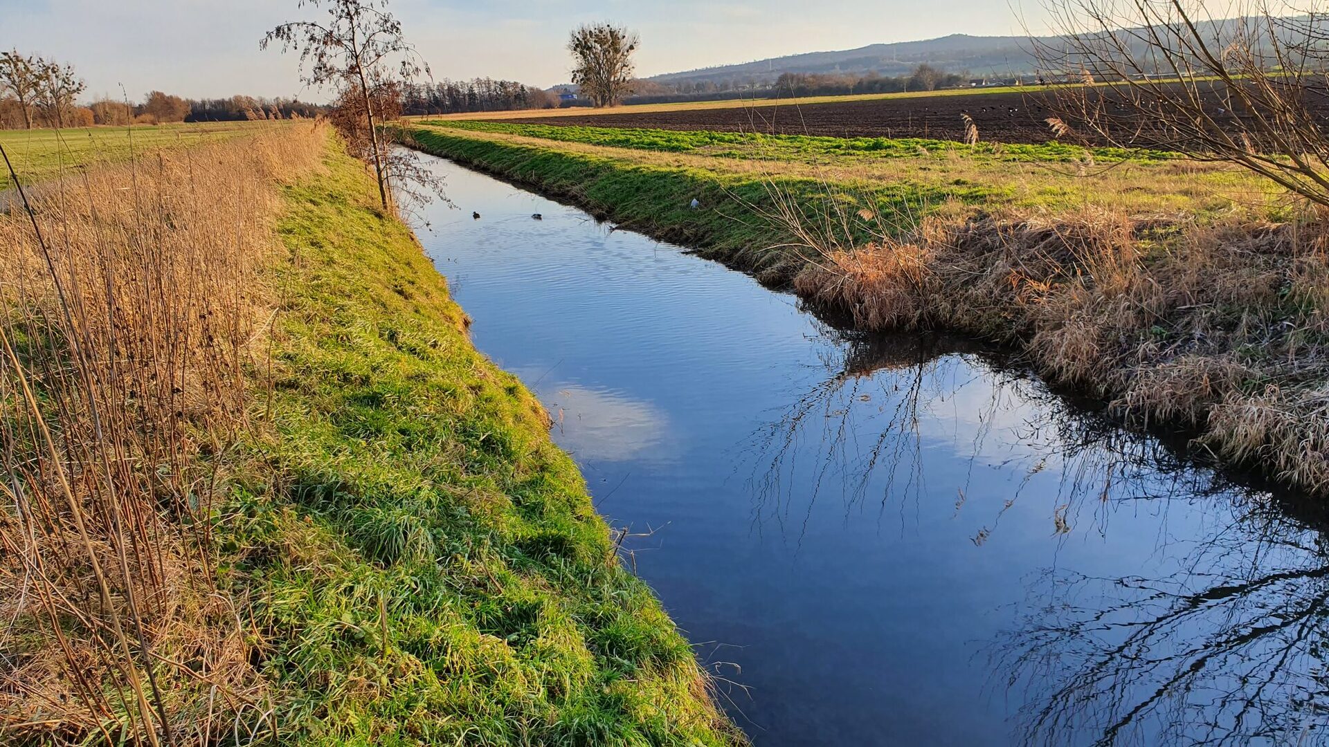
The city of Salzgitter is planning to renature the Fuhse floodplain between Autobahn 39 and Theodor-Heuss-Straße on city-owned land. This is based on the city's action plan for the protection and improvement of watercourses, which was approved by the city council.
At this information evening, questions were asked and additions made that will be incorporated into the further planning, which should be completed in the second half of 2024.
Why are the Fuhse floodplains in this section to be renaturalized?
In this stretch of water, the Fuhse is heavily straightened and monotonous. It flows through predominantly intensively farmed areas. Here, the watercourse is to be given more space and structural diversity by redesigning the watercourse so that it can develop more naturally again. Within the project area, floodplain-specific biotope types are to be developed and retention areas created, which can help to alleviate the situation in the event of flooding.
At the same time, the network of paths for local recreational use is to be redesigned, whereby the quality of stay is also to be improved and aspects of environmental education are to be taken into account.
The project is supported by state funds from the program of measures for river development.